Ad Gefrin | Yeavering

Ad Gefrin museum and distillery in Wooler, opened March 2023. Life in the Northumbrian kingdoms 6th and 7th centuries. The nearby archaeological site of Yeavering. Importance of soil to archaeological insight. Fine example of local heritage and enterprise combined.

One of an occasional series on museums and botanic gardens.

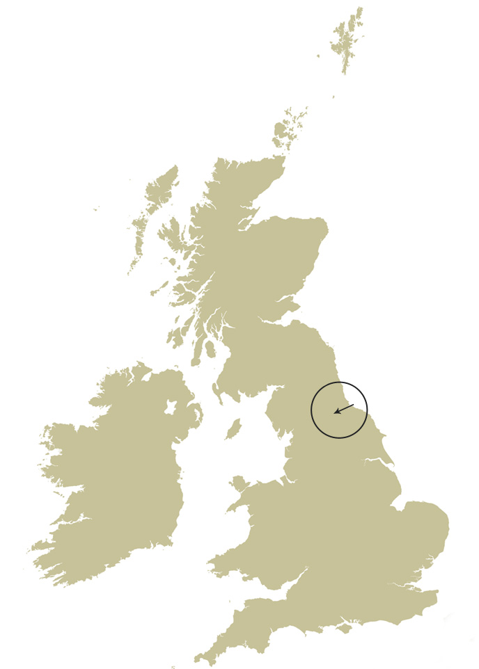
It is always heartening (the editor writes) to find a local museum established and thriving. The Ad Gefrin museum and distillery at Wooler [1] in Northumberland, together with the archaeological site of Yeavering [2] are a fine example of what can be achieved away from the main centres. Yeavering takes its name from the Celtic Gefrin – the Hill of the Goats, so Ad Gefrin is By the Hill of the Goats [3]. The archaeological site lies several miles north of Wooler.

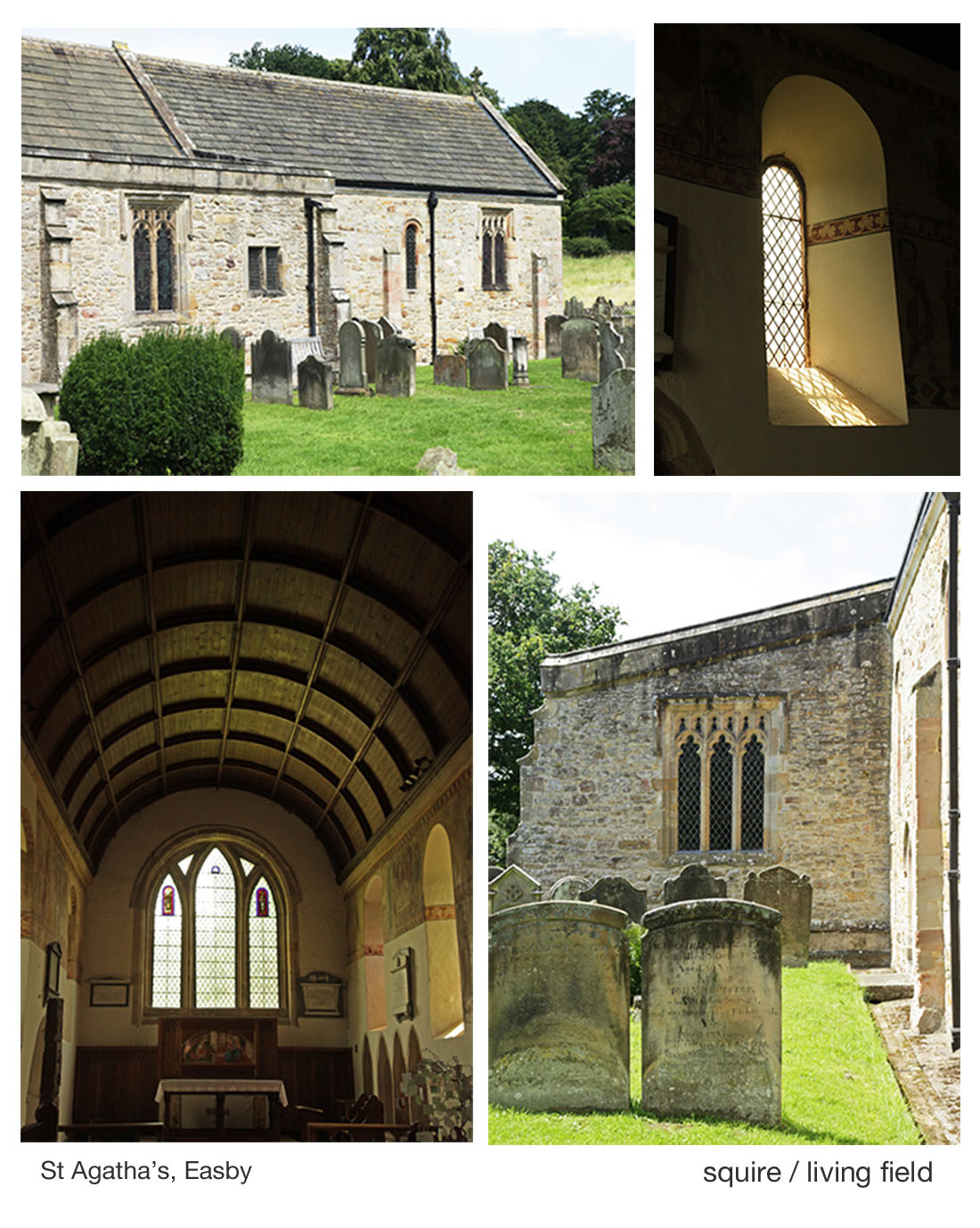
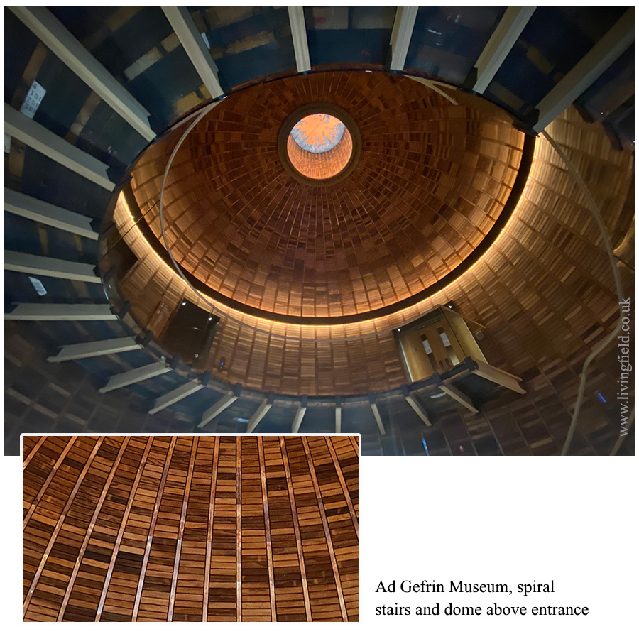
The museum and distillery opened in March 2023. Go through glass doors and immediately the stunning dome of the entrance hall rises above.  It was made in the shape of a whisky barrel. The dome is lined by many small, rectangular pieces of pine, sourced from wind-blown timber, each piece prepared and fixed in place by a local craftsman. 
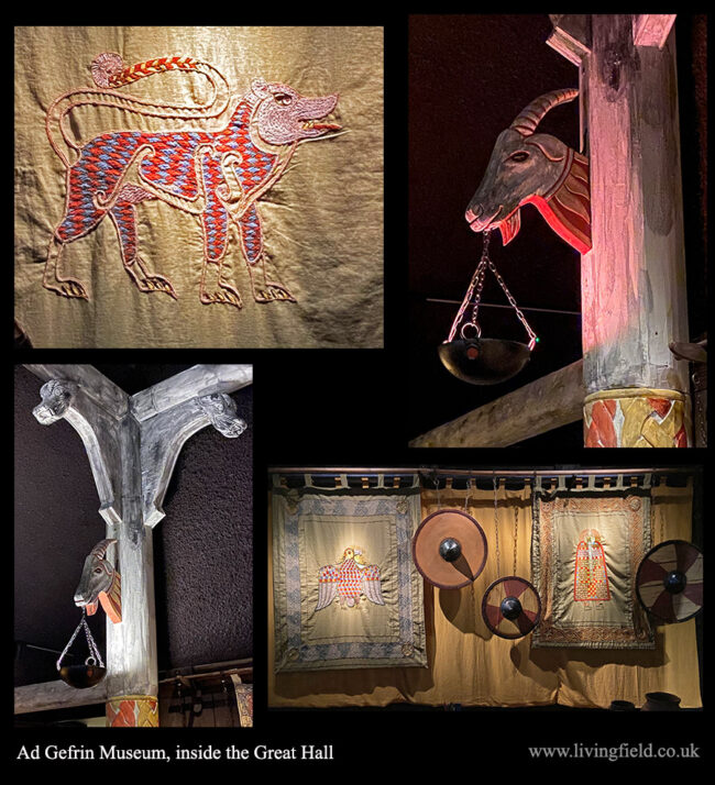
The Great Hall

The museum aims to entertain and educate on the Anglo-Saxon, Northumbrian dynasty that governed the region in the 6th and 7th centuries. They established Yeavering from their main base on the coast at Bamburgh. By 700, the site had been deserted, its precise location unknown until rediscovered in the mid-1900s.

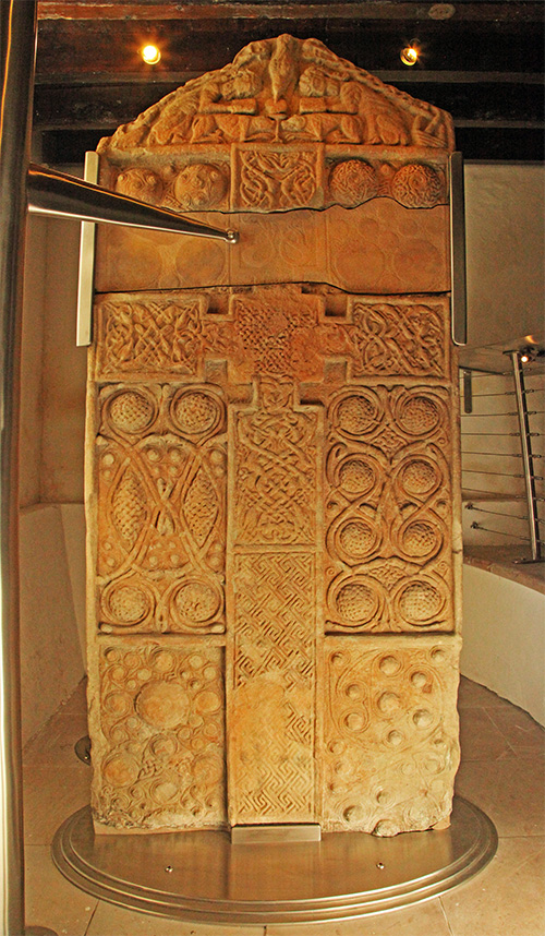
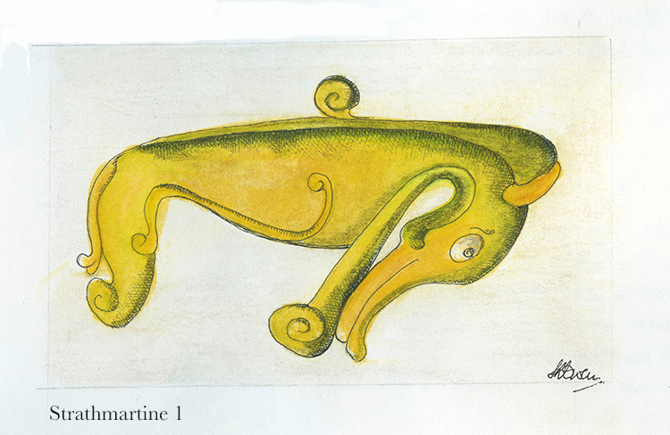
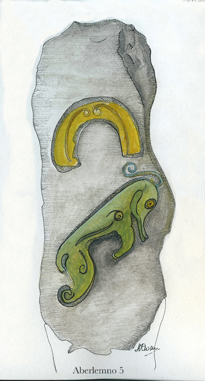
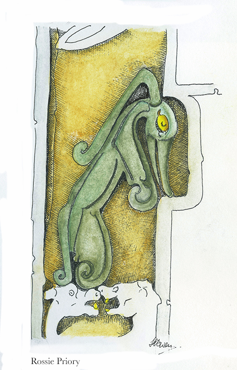
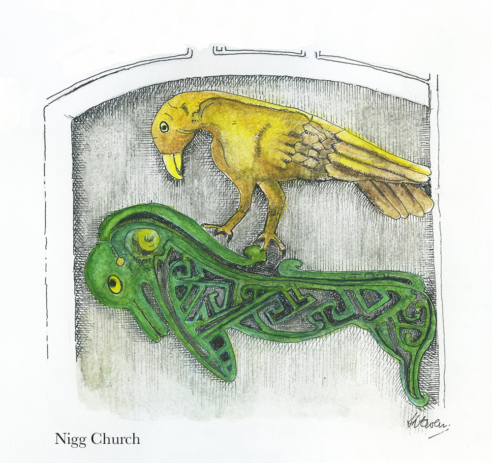
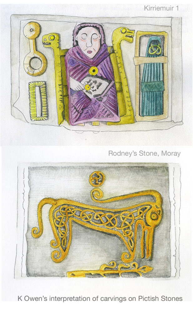
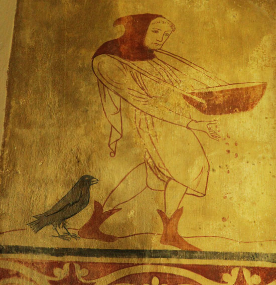
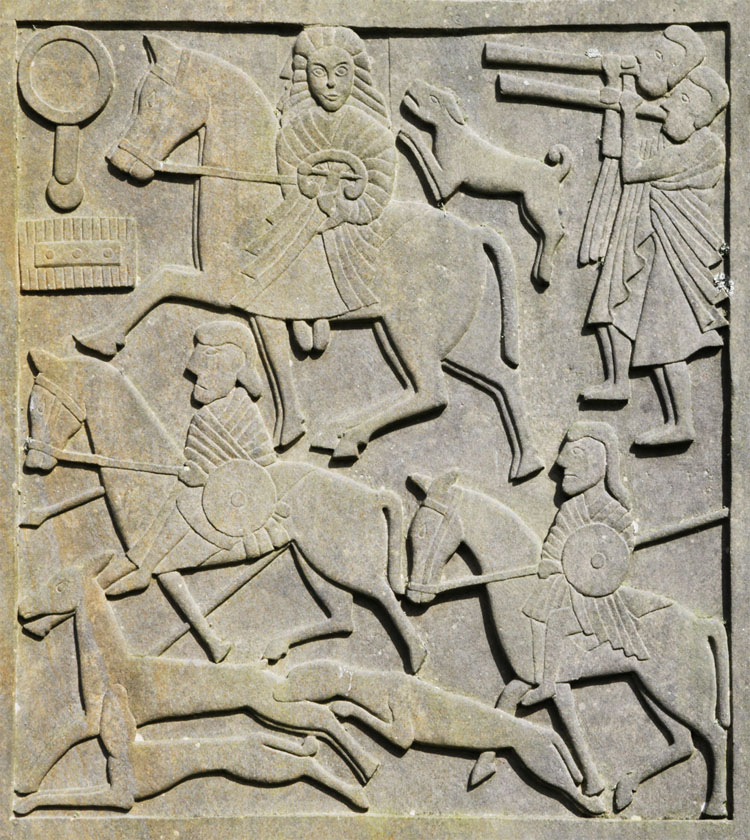
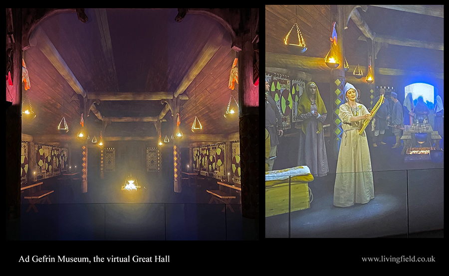
The museum reproduces a central feature of the Yeavering site – a building called the Great Hall. From the museum’s entrance, a spiral stairway (visible in the photograph above) leads to a door into the replica. Visitors can walk around one half of the hall, its walls covered in tapestries and carvings, some shown on this page. The other half is virtual, viewed through a screen and letting the viewer appreciate the full length and interior design of the building. 

Linger for a few minutes and the virtual half comes alive as people appear, tell stories and sing of the kings and the life at that time. It’s an ingenious way of drawing peope in, making them feel almost as if they were there. 

The museum displays some of the objects found during archaeological digs at Yeavering and models of some of the buildings including the Great Hall and a tiered Grandstand.  

View from the real to the virtual half of the Hall (left) where actors and singers (right) tell stories of the life at the times of the Northumbrian kingdoms.

Yeavering archaeological site

The site was revealed through examination of crop marks on an aerial survey of the region in the dry summer of 1949. It was first excavated  from 1953 to 1962 and the results published 1977 in an authoritative report by Brian Hope-Taylor, available today as a free download [4]. The report and its author have been widely praised [5]. It remains an engaging and impressive read, and not only for archaeologists. Enquirers from any discipline will appreciate the logical approach and the analysis of uncertainty in reaching conclusions from limited data, especially on the structure and functioning of different buildings and enclosures. The report repeatedly stresses the importance of soil to archaeological method (see below).

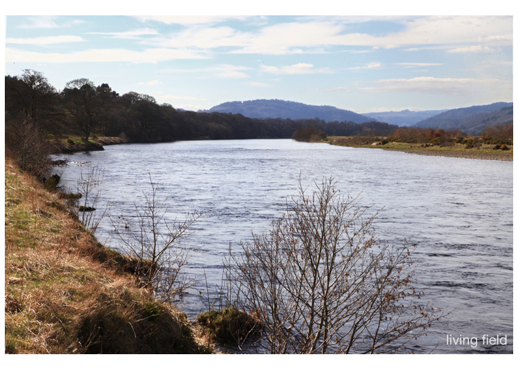
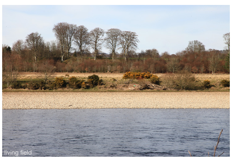
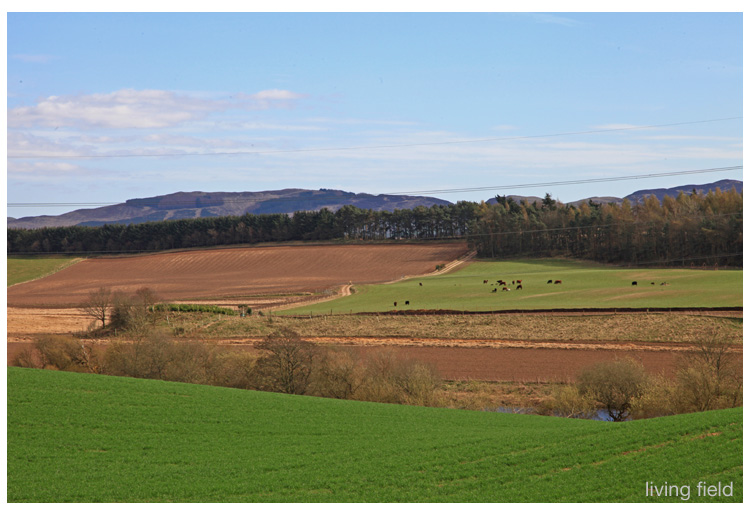
The site lies on an area of flattish land, known as the whaleback, the northern side descending steeply to the River Glen and the southern rising to the hills of Yeavering Bell. The River Glen joins the River Till which then feeds into the Tweed. Much evidence of occupation and farming since the neolithic have been found in this area. A large Iron Age hill ‘fort’ and many dwellings were built at the top of Yeavering Bell and the lower land around the Rivers Glen, Till and Tweed is dense with pre-historic settlement and signs of farming.

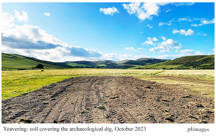
Archaeological studies at the site have continued and were active in summer 2023, but by October the exposed surface had been recovered with soil to protect it over the winter.  

Soil – AgriculturE – food

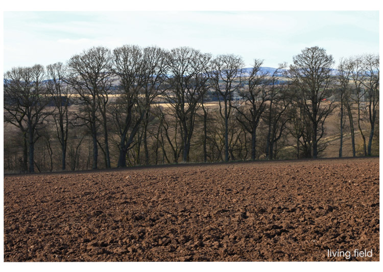
The main agricultural land use around Yeavering today is grazing for livestock, both sheep and cattle. Grain has been grown in this area. One of the boards in the museum states that rye, barley, wheat and oats have always grown well in the Millfield Basin – an extensive area of fertile land to the east of the Yeavering site. And the crop marks that reveaed the outline of the buildings were first seen when oats covered the land in 1949. 

Of interest to Living Field readers may be the importance of soil condition, both in locating the structures initially and then photographing their exposed outlines. Cropmarks are ‘negative structures’ differing from the surrounding soil in the the type of soil that filled the space when the original structures rotted or were removed [4]. If topsoil fell into the spaces, it would probably have contained more organic matter than the surrounding subsoil, and hence have a greater capacity to hold water.

Plants growing in this deeper, more organic material may absorb and reflect a different amount or a different quality of incoming solar radiation. Especially in a dry year, plants here remain greener and unwithered for longer into the summer.

The excavations also reveal the extent to which human habitation and farming influence the erodability of soil, its movement across and out of the area, leading to variation in depth. ‘Centuries of ploughing’ had eroded topsoil from the crest of the site and repositioned it towards the edges. The archaeologists could even tell whether a sub-soil had been previously cultivated or not by its feel and sound when turned with a trowel [4]. 

LIVESTOCK

Many animal bones and bone-fragments were found at the site. Analysis by ES Higgs and M Jarman [4, 6] showed cattle were by far the predominant livestock rather than sheep, pig or goat. Yet it’s the age when the catttle were killed that tells us something of the pressures on livestock farming at that time, pressures not much different from what they are today. 

Livestock need to be fed through the winter to keep them alive. Living grass may prove insufficient, so the herd is sustained with stored hay or grain. Breeding cows that perpetuate the herd have to be prioritised to ensure they survive. But what of the general cattle if feed is likely to run out.

Higgs and Jarman propose that cattle were killed early in their growth cycle, well before they reached full size. The collection of bones indicate age at death had two peaks – 6-11 months and 24-30 months. The first group, born in late spring and early summer, were killed over the following winter, presumably to leave enough feed for the rest of the herd. The second group were fed through the first winter, then a second, before being killed. The relatively short life-span of the cattle points to the pressure on farming to balance size of the herd, winter feed and the need for food.

Today, overwintering cattle, whether kept indoors or on grass, have their food supplemented by grain or silage, possible with concentrates, sourceable from a range of local and international supply chains. At Yeavering, they had only what they could produce and save from local fields. 

The future

The Yeavering / Ad Gefrin site is now managed by the Gefrin Trust [2]. The following is extracted from their web site – “In 2002 Ad Gefrin, the physical site and the ongoing story, passed into the hands of The Gefrin Trust. Our aim is to preserve, investigate and recount the history and impact of this important site in the north Cheviot hills, from prehistory right up to the latest investigations and finds.” The Trust’s web offers several free downloadable publications on the region’s history and archaeology.

Archaeological studies continue at the site [8].

Sources | Links

[1] Ad Gefrin Museum and distillery, Wooler: https://adgefrin.co.uk/

[2] Yeavering archaeological site: The Gefrin Trust describes the continuing excavations  and offers several free downloadable publications on the history and archaeology of the region. See also Canmore – Excavations at Yeavering Bell.

[3] The goats in the name have been around for millenia. They were once farmed, then went feral and now form a wild landrace of the British Primitive Goat. They are declining and under threat of extinction: Northumberland National Park; British Primitive Goat Research Group.

[4] Hope-Taylor, B (1977) Yeavering – an Anglo-British centre of early Northumbria. English Heritage. Report with many figures and plates downloadable at the Archaeology Data Service; and the Gefrin Trust.

[5] More on Hope-Taylor at: Thomas, S (2013) Public Archaeology 12, 101-116; Bamburgh Research Project 2011 The legacy of Dr Brian Hope Taylor

[6] ES Higgs and M Jarman: the report [4] gives no information on the people who analysed the animal bones from Yeavering. Higgs and Jarman were well-known archaeological pioneers and scholars who made major contributions to studies of the past e.g., Higgs, E. S. and Jarman, M. (1975) Palaeoeconomy. In E. S. Higgs and M. Jarman (eds.) Palaeoeconomy, 1-7. Cambridge, Cambridge University Press.

[7] For more on the analysis and meaning of animal bones in archaeology, see this online publication: Baker P, Worley F (2019) Animal Bones and Archaeology – Recovery to Archive. Historic England Handbooks for Archaeology. 

[8] Durham University: Yeavering | A palace in its landscape | Research Agenda 2020.

Pictish Beasts

By Kathryn Owen

I think it was the great sculptured stone of Nigg that did it…… How could someone have carved a stone of that size, with such intricacy, such imagination and such skill with just a hammer and chisel? And 1200 years ago? 

The Pictish cross-slab in Nigg Church, Tarbat (www.livingfield.co.uk)

So that was how I became hooked on Pictish sculptured stones. I visited Tarbat Ness in Easter Ross and the beautiful little museum in St Colman’s Church at Portmahomack [1] to find more examples and history retold as a story. Martin Carver of York University began fieldwork on the site in 1994 [2]. The team uncovered extensive monastery grounds near a stone church probably dating from the 8th Century, with evidence of metalworking and vellum making but also many carved stones, all in pieces.

The evidence of vellum making indicates that a scriptorium (place for creating manuscripts and illustrated gospels) was in existence at that time. There is discussion at the moment too, as to whether the ‘Book of Kells’ [3] could possibly have been created, in part perhaps, at the monastery of Portmahomack. If true ……..now there’s a legacy!

From there, I visited the other great Pictish sculptured stones of Tarbat Ness – the Hilton of Cadboll Stone and the Shandwick Stone [4]. There is a replica of the Hilton of Cadboll Stone, carved by Barry Grove [5] and now in its original position. The actual Stone is in the National Museum of Scotland in Edinburgh. The Shandwick Stone is covered by glass and is therefore protected from the elements, in place in the village of Shandwick. The Parish Church of Nigg houses the Nigg Stone, without glass, and it is the original – not a replica – and it is amazing!

Once I had seen these huge sculptured stones I began to find out more about both the Picts and their stones. Eastern Scotland is rich in its Pictish Stones, as is Morayshire, and there are so many to see, some in situ and some in museums. Some are well-protected but many are not – they are still in fields without even wooden structures to protect their artistry and their story. They are vulnerable to rain, snow, changing temperatures and the farmer’s plough.

The stone in the photograph below, called St Martin’s Stone, is still in a field at Balluderon, Angus, exposed to the elements, and the sculpted figures and beasts are very faintly seen.  This monument, was created 1300 years ago but seems to be no longer respected as significant in 2022. The damaged rusty fence constructed around it may protect it from the plough or tractor, but not the weather. Should we not be doing more to protect these stones?

Iconography

I began seeking out Pictish Stones, taking photographs of the stones and their sites and recording the iconography of the stones. The stones have a wide range of symbols and strange motifs, of key patterns, or interlaced knotwork, of figures – many on horses, some clerical, some warriors, some musicians, and then there are the beasts! There are entwined sea horses, strange dragon-like animals, birds like eagles or ravens, angry limb-eating monsters and also the ‘Pictish Beast’. This beast is strange – it has a snout like a dolphin, a crest or mane like a horse, four weird appendages which could not really be called legs or fins and then a tail! It has sometimes been called the ‘elephant beast’, maybe because of its large trunk-like head.

One of my projects was to find as many Pictish Beasts as I could, photograph and draw and paint them. There is evidence that the stones had been painted after they had been sculpted. The colours of the paint would have been the basic dyes available to the sculptors at the time (e.g. woad, madder etc.). I like to think of my pictish beasts as being somehow toned with the blues, greens and yellows that remind me of sea reflections. I suppose I do see the pictish beast as a water animal but this is just an intuitive feeling about it! I have drawn about 10 beasts so far and there are about 50 odd altogether – so I have a long way to go.

Here are some of the ones I have completed so far, with details of the stones, where they can be found and any interesting points about them.

Rodney’s Stone – Brodie Castle in Morayshire

Rodney’s stone is a 2 m high cross slab located on the approach to Brodie Castle, originally found in the grounds of the old church of Dyke and Moy nearby. There is also an inscription in ogham alphabet [6] on the stone and this contains the name ‘Ethernan’ who was a Pictish Saint. 

Note that the Pictish beast has ornate interlacing on its body, not that usual.

Meigle, Perthshire

There is a great museum in Meigle in the former Parish School built in 1844 [7]. There is archeological evidence of an early church or monastery from 9th century. There are 27 Pictish stones and about a third of them are magnificent cross slabs and the stones are each numbered [4]. This Pictish beast (left below) is found on the side panel of Meigle 5 and looks fairly amused. The other – the grumpy one – is found on the reverse of the stone called Meigle 4.

Local Stones – McManus Museum, Dundee

There have been a number of Pictish Stones found around Dundee and in Angus. I visited the local McManus Museum and also the Meffan Institute in Forfar [8] and was delighted to see the large number of stones on display. Strathmartine is an area of Dundee to the north west of the city where stones have been found on farmland. A pictish beast is found on Strathmartine 1, 3 and 6 [4]. This one is Strathmartine 1 and was found in a field between Strathmartine Castle and Gallow Hill. 

Aberlemno, Angus

This stone of a pictish beast with a horse shoe above it was found in Aberlemno in the 1960s, again in a field. Aberlemno has a collection of outstanding Pictish stones, simply standing at the side of the road and in the grounds of the parish church. Another stone has recently been found in a nearby field during an archeological dig by Aberdeen University. A visit to Aberlemno really is inspiring to see these stones in situ, along the roadside and in the graveyard of Aberlemno Kirk [9].

Rossie Priory, Perthshire

The Rossie Priory Stone in Perthshire is  protected in a family mausoleum. It is another highly carved, ornate and artistic stone and this beast is part of it. The heads below the beast are of a two-headed dog.

The Nigg Stone, Easter Ross

The Nigg Stone was broken in the 1800s when it was being moved and later repaired with a steel frame and an insert. The missing part on the reverse side of the stone had a Pictish beast and bird sculpted upon it. We know this from a drawing by Charles Petley in 1811/12.

I attempted to recreate this image of the beast from faint sketches found on Canmore [4] and in the Tarbet Ness Discovery Centre at Portmahomack [1], but also added in the interlacing that was in the original. I have found, so far, only two pictish beasts that contain interlacing and these are Rodney’s Stone and Nigg Stone. My drawing (below) shows an eagle above the beast and there are other stones where an eagle is below a pictish beast. There seems to be a relationship between these two – the eagle and the beast – but what?

More to be found

There are more pictish stones being discovered by various enthusiasts and professional archeologists as we move through 2022 into 2023. Recent finds include those at Aberlemno in 2021 [9] and Kilmadock in September 2022 [10].

Pictish Hill Forts are being futher excavated such as those at Burghead in Moray [11] to reveal great fortifications and more Pictish artifacts.

I hope more pictish beasts will be revealed but I have a long way to go to photograph, draw and paint all of them. Maybe I will not finish the task, but it’s a fascinating project so far!

Finally, details of the various beasts, the beautiful interlacing and key patterns can be found in the book by George Bain [12]. Bain describes and draws detail from Hilton of Cadboll, Shandwick and Nigg Stones but also instructs and guides readers into the art of Celtic design and construction. This is a great book for anyone wanting to learn more about the art of celtic drawing. 

Sources | links

[1] St Colman’s Church is now the site of the Tarbat Discovery Centre, Portmahomack, Easter Ross, which gives history of the site and wider area, and displays stones found locally.

[2] Portmahomack Monastery of the Picts, 2nd edition 2016, by Martin Carver. Edinburgh University Press.

[3] Book of Kells: see Trinity College Dublin at Shine a light on Irish history and the National trust for Scotland at The Book of Kells. The possibility that the Book could have been produced at an eastern Scottish monastery is considered by Victoria Whitworth (link to the Tarbat Discovery Centre).

[4] Photographs, drawings and information on Pictish Stones can be found by searching the Canmore web site (National Record of the Historic Environment) and in books, for example: Allan, J. Romilly and Anderson, J. 1903. The early Christian Monuments of Scotland, Vols 1 and 2. Society of Antiquaries of Scotland, Edinburgh. Numbering of the stones, useful where several are found or exhibited at the same site, usually follows that set by Romilly Allan.

[5] Barry Grove, sculptor: see the Halfmoon.tripod web site at The modern Pictish Stones of Barry Grove (Ed: link broken when checked 2 Oct 2022; same 29 Nov 2022) and the ARCH web site for an article by Susan Kruse Carving Pictish Stones.

[6] Ogham – an early mediaeval alphabet from Ireland. See the web sites: OG(H)AM for a current research project; articles by David Stifter, Maynooth University, e.g. Language and epigraphic culture ‘OGAM’; and ogham.co for history, symbols and translations.

[7] Meigle Sculptured Stone Museum at Historic Environment Scotland.

[8] McManus Art Gallery and Museum, Dundee and the Meffan Institute, Forfar (link to Angus Alive)).

[9] Aberlemno – Historic Environment Scotland web at Aberlemno Sculptured Stones. More at the web pages of Aberlemno Kirk – the Stones. YouTube video Rare Pictish symbol stone found near site of ancient battle.

[10] Kilmadock – stone found by ROOK Rescuers of Old Kilmadock (link to their facebook page).

[11] Burghead excavation, Moray – University of Aberdeen web at Scotland’s largest Pictish Fort and the Burghead Visitor Centre.

[12] Celtic Art The Methods of Construction, by George Bain, Constable and company first impression 1951.

Editor: many thanks to Kathryn Owen for sharing her experiences and drawings of Pictish Beasts. Pictish art is a legacy of global significance, originating in our croplands but appreciated far beyond.

For more art and craft at the Living Field – Ancient and modern – techniques with wool in textile art by Ruth Black, Repurposing grass pea as an embroidered textile and hand made paper by Caroline Hyde-Brown, Owlbirds by Kit Martin, and pages on this site by Jean Duncan and Tina Scopa.

Pictish Knotwork

Interlaced knotwork of some major Pictish cross slabs found in Scotland, based on triquetra knots [1]

By K Owen

The Living Field welcomes this article and drawings of patterns on stone-carved monuments left by early medieval people based in and around the lowland croplands and grazing lands.

Aberlemno Kirkyard Stone, early 8th Century, Angus

The Aberlemno Kirkyard Stone is an impressive sandstone slab 2.29 m high, 1.27 m wide with stone carved interlacing and fantastic beasts on the front and the carving of the depiction of  a battle scene on the rear. The pattern below is from the front, showing the north quadrant of interlacing that forms the upper part of the cross. The stone had been damaged, so there had to be a bit of interpretation of what it should look like, using the other shapes within it and with reference to similar carvings [2, 3].

The stone now stands in the grounds of Aberlemno Church [4], itself within a landscape that has sustained crops, livestock and trees over thousands of years. The view of arable and grass fields (upper image, below) was taken from the ‘fort’ on Turin Hill, a few km to the south of the church.

Kilduncan Cross Slab, 10th Century, Fife

 The cross slab was found in 2001 lying against the wall of a barn in Kingsbarns, Fife. It is now in St Andrews Museum, Kilburn Park [5]. It is a small slab, only 0.78 m high and 0.53 m wide. There are two S-dragons carved on the face,  framing a circle, with carved interlaced knotwork in the centre of the stone.

The stone was found near the coast on the edge of an extensive area of mixed farmland producing crops and livestock. The coastline is varied: estuaries and inlets, rock extending out into the sea, stony beaches and as in the photograph, great tracts of sand.

Eassie Cross Slab, 8th Century, Angus (near Glamis)

This great stone is an old red sandstone cross slab 2.03 m high and 1.02 m wide. It is protected within the ruins of the Eassie old parish church [6] by purpose-built screens. There are four quadrants to the cross, each with carved interlaced knotwork, together with hunting scenes and angels. This is the west quadrant of the cross.

The ruined church lies several km west of Glamis. Images below show the church in 2021, the cross slab under its protective cover, and a nearby view of spring-sown crops just emerging green from the soil, tree lines and forest plantation beyond.

Ulbster Stone, 9th Century, Caithness

This once stood in an ancient burial ground attached to the ruined Church of St Martin at Ulbster near Thurso. Both sides of the slab are carved with strange beasts, symbols and interlacing. This drawing of interlaced knotwork is taken from the north quadrant of the front.

St Vigeans 1 – Drosten Stone, 9th Century, Angus

This remarkable stone stands 1.84 m high and 0.55 m wide in St Vigeans Museum near Arbroath [7]. On the face shown in the photograph below there are a number of carved animals – a doe with a suckling fawn, a  bear, an eagle feeding on a salmon, a horned animal and an archer with a bow. 

Images below, taken inside the museum show a description of the stone, the stone itself and (inset) a closer view of some of the animals, including ‘a beast with a large curved horn on its head and its tail curved over the back’ [3].

The Boar Stone of Gask, 9th Century, Perthshire

This old red sandstone slab is 1.88 m high and 1.08 m wide and now sited in the grounds of Moncreiffe House. The lower shaft of the cross has this carved interlaced knotwork while carvings of animals such as deer and boar surround it.

Sources | links

[1] Triquetra knot: a figure with three interlacing loops which have no end. Common from about 7th C in insular ornaments such as illuminated manuscripts and stone carvings.

[2] Canmore: Part of Historic Environment Scotland canmore.org.uk. On the site, search for the name of the object, building or place.

[3] Allen JR, Anderson J. 1903. The early Christian monuments of Scotland. Society of Antiquaries of Scotland. Reprinted 1993 by the Pinkfoot Press, Balgavies, Angus.

[4] Aberlemno Pictish stones. Four in total, three on the roadside and the one shown here in the church yard, sculpted between AD 500 and 800. Free to visit. Details on the Historic Environment Scotland web site at Aberlemno Sculptured Stones.

[5] St Andrews Museum, Kinburn Park, Doubledykes Road, KY16 9DP. More on the Visit Scotland web site.

[6] Eassie Old Church: free to visit. Information on the Canmore and VisitAngus web sites.

[7] St Vigeans Museum, near Arbroath, occupies several cottages opposite St Vigeans church. Contains 38 sculptured stones that were found in and around the churchyard. The web site gives opening times St Vigeans Stones and Museum.

Labours of the Months

A note to the Living Field’s exploration of The Year. The Labours in Medieval art and craft. Labours in the remaining Easby church murals, Yorkshire, ca 1250. Adam and Eve in the tradition: delving and spanning. The reformer John Ball. Modern Labours and the Crow. 

The ‘Labours of the months’ was an artistic theme that recurred in cathedrals and churches across Europe in the middle ages, typically 1200-1400 AD or 800-600 years ago [1]. The Labours, depicting rural activities through the year, were sometimes paired with the signs of the zodiac. They were crafted in stone, wood and stained glass and occasionally in wall paintings (murals). The great cathedrals of France and Italy display many fine examples.

The Labours  had a role in reinforcing power and privilege. In the Très Riches Heures for example [2] the paintings show well turned out peasants about their seasonal activities, but overlooked and dominated by great palaces and castles. And not all the Labours were about the agricultural year: hunting with hawk and dog would also have been the preserve of the wealthy.

So now to Yorkshire …

The Easby Murals

In the church of St Agatha at Easby [3] Yorkshire, four of what are thought to have been 12  murals remain of these Labours of the Months, dated to around 1250 along with several murals depicting scenes from the Bible. There are apparently very few other wall paintings of ‘The Labours’ from medieval Britain, and none to compare with these. 
lf_ntsmgs_stgthmrls1_gs_1100

These murals were originally painted on dry plaster, but found covered with lime wash, presumably to prevent them being seen and defaced during Henry VIII’s purges of the monasteries in the mid-1500s. They were uncovered in Victorian times and restored again in 1994 [4]. The remaining 8 have not survived.

A notice in the church states that two of the remaining Labours are from spring, sowing and pruning, and the others, digging and hunting, from winter. Those of sowing and pruning are the best preserved.

The church at that time was next to a monastery, Easby Abbey, now a well kept ruin [5], and the resemblance of monks’ hair styles (tonsures) in the labourers depicted suggests that the painter’s models were working canons from the Abbey rather than common people.

lf_ntsmgs_stgth_mrls2_gs_1100

Yet the presence of this ‘Labours’, so close to central Christian themes, and in a humble church, shows the importance of the year’s cycle to the people and the beliefs at that time. As in the great cathedrals, hunting on horseback with a hawk features in one of the four (lower right in the images above). The hawk itself looks more like a crow and not too different from the crow observing the sower.

Who was then the gentleman …?

Another of the murals, not part of the ‘Labours’, but one of a set on early Christian themes, shows Adam digging and Eve sat on a rock or tree stump spinning, symbolic mundane tasks that they would have to do for eternity after their ejection from the Garden in the book of Genesis.

lf_ntsmgs_stgth_dgspn_gs_750These symbols of husbandry and craft have resonated throughout recent history, not least when the preacher for social justice and equality, John Ball [6] wrote in the 1300s not long after the Easby murals were painted:

“When Adam delved and Eve span, who was then the gentleman.”

He was querying why privilege and power should still so dominate and make miserable the lives of working people in what was purportedly a Christian country. That power was uncomfortable with the idea of social justice and John Ball came to a violent end, being cut into pieces and displayed in different parts of the country.

John Ball’s memory has also been kept in writings and songs, notably that by Sydney Carter [6].

In the mural at St Agatha’s, Adam is fully clothed, and Eve not quite, but in the folk tradition they can be without. In the song “Old Adam” – which has a delving and spanning refrain –  is the line “he never paid his tailor’s bills because he wore no clothes” [7].

Modern labours

The Labours of the months was given a new treatment by the writer and artist Clare Leighton in her ‘The Farmers Year’ published in the 1930s [8]. She begins with the Labours of Lambing, Lopping and Threshing, then in the month of April, Sowing; and the time of the engraving is more than 500 years after Easby, yet the farmer is broadcasting by hand, carrying the grain in a basket slung in front of him.

Her sower strikes a similar pose to that in the Easby murals, but with right arm back after flinging the seed. Her sower is more rugged, of the earth, not with smock and tonsure but with weathered face and trousers tied below the knee and having a wife waiting for him at the farm.

lf_ntsmgs_stgth_clswng_750

Though she admits most sowing and other field work was then done with machinery, Clare Leighton chooses to engrave this sower, and writes ” ….. but here and there a farmer remains who still feels some warmth come up to him from the earth as he strides his fields, and to whom the land is a matter of emotion as well of economics.”

The crow?

The presence of the crow, following the Easby sower, recurs throughout the tradition. Crows observe the human condition, taking advantage where they can. In traditional song, two crows find a ready meal in a new-slain knight, deserted by his dog, his hawk and his lady. The crows are thinking aloud about which of them will feast on the eyes.

Of contemporary artists, Alan Stones has a special eye for crows and ravens [9]. In his lithograph – Brother Sun – a crow observes a man, a shepherd, coiling barbed wire. Another crow flies away low over the field. In a charcoal drawing, two crows peck before a gnarled hawthorn tree. His series ‘Divided self’ show crow-type birds standing on sheep and the series ‘Raven’ brings out the unearthly power of the great black birds.

The murals at St Agatha’s, Easby, are part of a European heritage and a continuing tradition [including colouring-in if that’s your fancy 10].

Contact / author: geoff.squire@hutton.ac.uk, visited St Agatha’s on 9 July 2017.

Sources, references, links

[1] Labours of the months: for general background and examples, see the Wikipedia page https://en.wikipedia.org/wiki/Labours_of_the_Months; and The Paradoxplace web site shows Labours and Zodiac in stained glass at Chartres, France c1217

[2] The illuminated manuscript, Très Riches Heures can be viewed at Public Domain Review: https://publicdomainreview.org/collections/labors-of-the-months-from-the-tres-riches-heures/.

[3] Easby Parish Church – a brief guide. Bargate Publications, Richmond, North Yorkshire, www.bargatepublications.co.uk. A notice on one of the walls states that the murals were originally painted on dry plaster and pre-date the Florentine Giotto (c. 1267-1337) and the Sienese Duccio (active 1278-1319). The church contains a replica of the Easby Cross, of sculpted stone, now in the V&A London. The photographer and historian Stiffleaf has a bank of images at http://www.ipernity.com/tag/stiffleaf/keyword/28360/@/page:69:18

[4] The Easby Church guide states: ‘…. they were uncovered during the Victorian restoration and restored again in 1994 by Perry Lithgow (a company specialising in architectural restoration) assisted by a grant from English Heritage.’ More photographs of the murals can be viewed at Wasleys.org.uk.

[5] Easby Abbey was founded in the 1150s for the Premonstratensian Order, itself founded in about 1121 in Prémontré, in France. The Abbey was destroyed in the 1540s in Henry VIII campaigns. Information at English Heritage http://www.english-heritage.org.uk/visit/places/easby-abbey/

[6] John Ball: the Wikipedia entry gives general background. Sydney Carter wrote the song ‘John Ball’ for the 600th anniversary of the Peasant’s Revolt of 1381. Perceptive commentary at ‘Songs that grow like trees: an appreciation of Sydney Carter (1915-2004)’ on the web site Early Music Muse – musings on medieval, renaissance and traditional music by Ian Pittaway. Chris Wood sings ‘John Ball’ on his album Trespasser:  ChrisWoodMusic.

[7]  The traditional song “Old Adam” is performed (2016) by Fay Hield and the Hurricane Party on the CD album Old Adam, 2016, Soundpost Records, www.fayhield.com.

[8] Clare Leighton, 1898-1989, writer, artist and engraver. For examples of works, see clairleighton.com. Source: Leighton, C. 1933. The Farmer’s Year – a calendar of English husbandry. Little Toller Books, Dorset.

[9] Alan Stones at www.alanstones.co.uk.  ‘Brother Sun’ and other early lithographs can be viewed at Lithographs – Farming (1984-1992); crows and ravens at Lithographs (1996-1999).

[10] Institute for Medieval Studies University of Leeds
Downloadable page for colouring, Labours of the Months, January to March https://www.leeds.ac.uk/arts/download/2753/labours_of_the_months

lf_ntsmgs_lbrsyr_stgth_gs_1100

[Edited 17 September 2017]

Feeding the Romans

Thoughts on a visit to the exhibition Roman Empire – Power and People McManus Dundee, on 14 March 2015.

This fine, informative display gave evidence of the Roman presence north of the Antonine Wall (between Forth and Clyde) around 2000 years ago. They set up marching camps and lines of communication, patrolled a long and complicated frontier, built great fortresses, then retreated. Yet few things remain to tell of their everyday life.

One was scale armour, known as lorica squamata [1], fragments found at the site of the fort at Carpow, near the junction of the rivers Tay and Earn in Perthshire. These small samples, linen cloth as backing, sown with 1-2 cm wide sheet-bronze scales, are stated to be the best preserved of this type of army gear in north-west Roman europe. They are rare intact because the linen cloth usually rots and disappears. Someone might have worn this armour to help protect them from a thrown stone or spear or a body blow from wood or metal. It is not known whether the fibre plant flax Linum usitatissimum used to make the linen was grown locally or even whether the cloth was made here [2]. There was a trade in linen throughout the empire.

Another was an amphora (a clay pot), reconstructed from pieces found at Carlungie, Angus, lying in one of the dwellings adjoining an earth-house or souterrain, used as an underground storage chamber. Amphora such as this were used to move wine, oil and other essentials round the empire. A note by the exhibit told the amphora was from Gaul (France) and contained French wine. Who brought it here is not known, but you can imagine the party.

The Tay from the bank opposite the site of the Roman legionary fortress of Inchtuthil looking west, a landscape probably little changed (Squire/Living Field)

Forts and fortresses along the northern frontier

These exhibits were some of the few fragments remaining in this area from the massive resourcing of the empire’s northern frontier. The Romans made Britain a province in 43 AD and by the 70s AD had established fortified lines and supply routes through (what are now) Perthshire, Angus, Aberdeenshire and Moray. They patrolled well north of the Antonine Wall, which itself is more than an hour’s car-drive north of Hadrian’s Wall in northern England.

They built and manned forts close to transport routes by land and water from the south and east, as at Carpow, and camps and signal towers along the Gask line that ran north of Stirling and continued north east along fertile Strathmore as far as the east coast near Stracathro, and from there, dog-legging north and north west across Aberdeenshire to Moray. A long way to march. A long way from home.

Surprising is the size of some of the garrisons. The one at Carpow, close to the Tay estuary and not far from the North Sea, and thought to be occupied between 180 and 220, was designed to hold 2000-3000 people. The massive base at Inchtuthil – a legionary fortress – by the Tay river west of Meigle (image above), commanded the way north from Perth and was estimated from its dimensions and excavated buildings to house 20,000 to 50,000. A small town! To do its job today, it would need to be sited a few miles farther west to command the A9 and railway from Perth to Inverness.

Roman Inchtuthil existed only for a few years in the AD 80s before it was purposely abandoned. Even if not fully occupied, these garrisons must have held thousands to tens of thousands of people, many of whom were soldiers with big appetites.

Across the Tay to the site of the Roman legionary fortress at Inchtuthil on the raised ground beyond the tall trees (Squire/Living Field)

How to feed thousands of soldiers

They all had to be fed. They would have brought and tended some of their own livestock and perhaps grown some crops and vegetables nearby, but the staple food would have been grain – wheat, barley or oat. (There was no maize, potato or turnips then.) Just think how many packets of porridge oats would be needed to feed all those men every morning [3], and that grain would have had to be transported over long distances from the south or else stolen or coerced as tribute, or tax, from local people.

The SCRAN entry states: “The Roman army was adept at self-sufficiency. At Inchtuthil the legionaries exploited local resources of wood, stone, gravel, and clay to build their fortress. They manufactured their own lime, bricks, and pottery on the spot. Food and other raw materials such as leather would have been obtained from the natives, probably in the form of tax. The massive granaries at Inchtuthil hint at the scale of such levies.” And these granaries, or grain stores, were big, as shown by the diagrams and aerial images made during archaeological digs (online references below).

The exhibition says that when the Romans came the area was populated by farming communities of native tribes, scattered and based around fortified hill tops. This was the late Iron Age, so agriculture would have been widespread, but even so it would have been very hard pressed to support tens of thousands of soldiers in addition to the existing people. Imagine working hard all year to grow crops and then when they were harvested, you had to give away a lot of the grain for the privilege of having the Romans living nearby. The invaders can’t have been popular and presumably that is why they had to build these lines of communication and massive fortresses.

Coppiced birch, last cut 20-30 years ago, near the site of a Roman signal tower in Strathmore (Squire/Living Field)

In conclusion

The Romans did not stay long. They arrived (in what is now Scotland) in the 70s (AD), which is about one thousand nine hundred and fifty years ago, but they were gone in less than 150 years. Their leaving is said to be the result of things happening elsewhere in the empire. Rome was too stretched – but (you have to ask) – was it the midge!

The iron age skills of growing crops and tending stock continued to the present time. So did working hard all year and giving away the harvest to those wealthier or more powerful. The Romans had no monopoly on oppression. It became endemic to northern agriculture.

Notes

[1] Squamata is the scientific name now given to reptiles that have scaly skin, the lizards and snakes.

[2] Flax is one of the oldest fibres plants, grown in Britain for several thousand years, see the Living Field’s page on Fibres.

[3] A packet of porridge oats weighing one kilogram contains 25 servings. To make 1000 servings would take 40 packets, and 10,000 servings 400 packets; and that would be just for one breakfast.

Ploughed land, line of trees through to stubble fields, near the site of the Roman fort of Cardean, Strathmore (Living Field)

Sources and references

Introduction including material for schools

BBC Primary History http://www.bbc.co.uk/schools/primaryhistory/romans/romans_in_scotland/

SCRAN Trust: information on the fortress at Inchtuthil and on   grain stores http://www.scran.ac.uk/packs/exhibitions/learning_materials/webs/56/Inch.htm http://www.scran.ac.uk/packs/exhibitions/learning_materials/webs/56/Garrison.htm#granary

See also links to SCRAN for Carpow and Gask Frontier from the above pages.

Looking south-east across arable and grazing land from the site of a Roman signal tower, Strathmore (Squire/Living Field)

Books and articles

Jones, RH. 2012. Roman camps in Britain. Amberley Publishing, Stroud, Gloucestershire, UK. Available as ebook via Google Books.

Hoffmann, B. 2013.The Roman invasion of Britain – archaeology versus history. Pen and Sword Archaeology, Barnsley, UK.

Wolliscroft DJ, Hoffman B. 2006. Rome’s first frontier: the Flavian occupation of Northern Scotland. Tempus publishing.

Archaeological investigations and records (RCAHMS)

Carpow: http://canmore.rcahms.gov.uk/en/site/30081/details/carpow/

Inchtuthil: http://canmore.rcahms.gov.uk/en/site/28592/details/inchtuthil/

Contact

geoff.squire@hutton.ac.uk

Photographs on this page taken early April 2015.

Towards the site of a Roman signal tower, now occupied by planted Scots Pine, bulb field in the foreground (Squire/Living Field)